Geo-Master Sub-Bottom Profiling Acquisition and Post-Processing Software
商品详情
Geo-Master Sub-Bottom Profiling Acquisition and Post-Processing Software
Product Introduction
Product Features
Fully Chinese operation UI interface
Equipped with automatic measurement function, capable of automatic measurement in multiple layout areas
Supports connection to TSS data and swell correction
The sub-bottom profiling data recording range can be set, and data beyond the range will not be recorded
The color band display of acquired data can be adjusted
Data can be replayed, and the speed can be adjusted
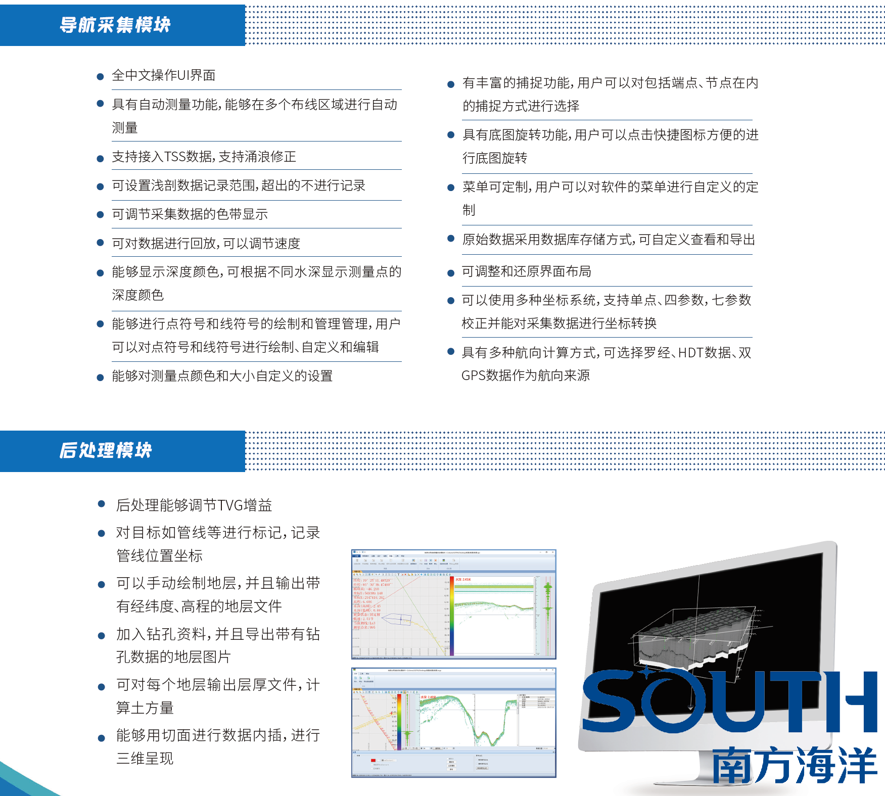
Post-processing can adjust TVG gain
Targets such as pipelines can be marked, and pipeline position coordinates recorded
Strata can be drawn manually, and stratum files with latitude, longitude and elevation can be output
Borehole data can be added, and stratum images with borehole data can be exported
A layer thickness file can be output for each stratum to calculate earthwork volume
Data interpolation can be performed using sections for 3D presentation
Depth colors can be displayed, and the depth color of measurement points can be displayed according to different water depths
Point symbols and line symbols can be drawn and managed,
and users can draw, customize and edit point symbols and line symbols
The color and size of measurement points can be customized
Post-processing can adjust TVG gain
Targets such as pipelines can be marked, and pipeline position coordinates recorded
Strata can be drawn manually, and stratum files with latitude, longitude and elevation can be output
Borehole data can be added, and stratum images with borehole data can be exported
A layer thickness file can be output for each stratum to calculate earthwork volume
Data interpolation can be performed using sections for 3D presentation
Technical Specifications